May 24, 2021 - Day Five, Flight One
Amarillo, Texas to Clayton, New Mexico
|
|
I ubered from the motel to the airport in the morning and soon had the plane out and ready to go. The uber costs $10 each way, and I figure the courtesy car costs $10 for gas, so not having the courtesy car only cost me $10. However, the courtesy car would have enabled visits to the Big Texan steakhouse and maybe a run out to Cadillac-Henge or a local museum.
Today, I would probably experience the most variety of the entire trip. I would experience a massive red-rock canyon, flat prairie, snow-covered mountains, high desert, giant sand dunes, and narrow, rocky canyons.
|
| |
 |
|
|
I'm already a long way from home: 1,373 miles. And I'm just getting started!
|
| |
 |
|
|
Tradewind Airport has a very nice terminal. These enlarged photos of the airport in its early days were at one end of the lobby. The airport originally was just by itself out in farmland. Now, it's surrounded by the suburbs.
Unfortunately, other than the terminal, the rest of the airport seems tired and rundown. The runway, taxiway and ramps are all crumbling. The airport obviously needs a large injection of money or its future is not bright. I'm guessing most of the money goes into the Amarillo International Airport (KAMA) a few miles to the northeast, with its 13,000 foot and 7,900 foot runways, control tower and $6.41 avgas prices. Still, Tradewind Airport is a good overnight stop for the transient general aviation pilot, especially if the courtesy car is operational.
|
| |
 |
|
|
I debated about going back to the Palo Duro Canyon. I hadn't flown half of it yesterday afternoon when I came in. I finally decided I flew all the way out here and might as well see everything there is to see while I'm here. So I headed southeast to the Canyon. It was the right decision.
I hit the Palo Duro around Lake Tanglewood.
|
| |
 |
|
| Someone has a nice view. |
| |
 |
|
| Flying into the big canyon. |
| |
 |
|
|
Palo Duro is the second-largest canyon in the United States and is sometimes called "The Grand Canyon of Texas".
|
| |
 |
|
| I think I enjoyed the Palo Duro even more this morning than I did yesterday afternoon. Of course, I was in different areas of the canyon. Both are outstanding. |
| |
 |
|
|
The air was super calm.
|
| |
 |
|
| Doesn't get much better than this. |
| |
 |
|
| |
| |
 |
|
| |
| |
 |
|
|
|
| |
 |
|
| I popped out of the Palo Duro and headed north across the flat plains. |
| |
 |
|
|
|
| |
 |
|
| |
| |
 |
|
| |
| |
 |
|
| |
| |
 |
|
|
|
| |
 |
|
| Just by chance, I came upon Lake Meredith, which is long and runs north-south. |
| |
 |
|
| To the north was water which didn't look too interesting. |
| |
 |
|
| But to the south looked interesting, so I headed that way. |
| |
 |
|
|
It was kind of a big, empty lake bed with a little creek flowing through it.
|
| |
 |
|
| I really enjoyed flying through it down low, banking back and forth. |
| |
 |
|
|
Passing by an area where I'm guessing ATVs enjoy all the trails.
|
| |
 |
|
| After Lake Meredith, I again turned due north. My destination was the rectangular area in Texas just underneath the western end of the Oklahoma panhandle. This area was the Rita Blanca National Grassland. I wanted to see some prairie grass. |
| |
 |
|
| Oil rigs on the prairie. |
| |
 |
|
| |
| |
 |
|
|
Passing by Stratford, Texas.
|
| |
 |
|
|
A huge stockyard.
|
| |
 |
|
|
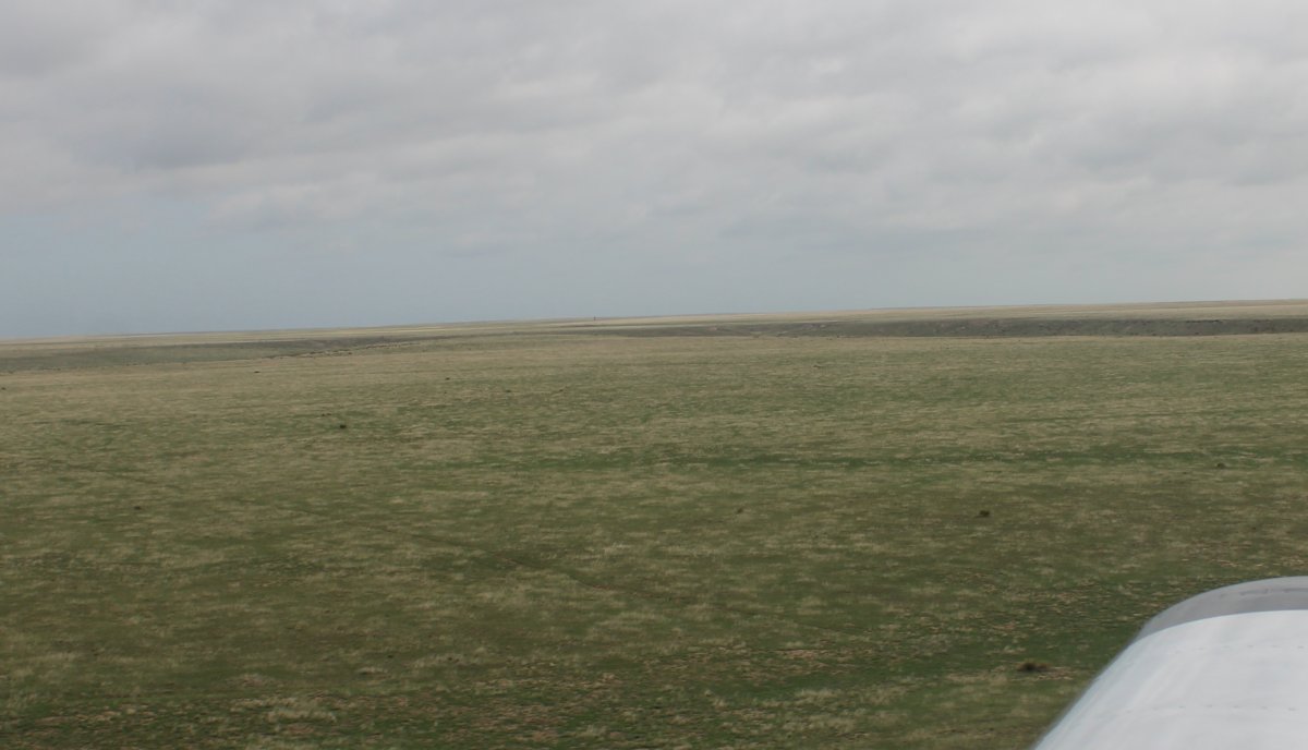
Near the Oklahoma border, I turned due west and flew what should have been the Rita Blanca National Grassland. Maybe it was. If so, the cattle keep the grass pretty short.
|
| |
 |
|
| Doesn't get much better than this for flying low! |
| |
 |
|
| |
| |
 |
|
| I never get tired of flying like this. Low, over flat country with no obstructions, in smooth air. |
| |
 |
|
|
Following a dirt road heading west.
|
| |
 |
|
| Approaching Clayton, New Mexico where I would make a fuel stop. I stopped at this airport on my 2011 Santa Fe Trail flight and liked it. |
| |
 |
|
In the distance to the northwest were the Rabbit Ears. Supposedly, the name is that of a Native American chief who was killed here in a battle with the Spanish in 1717. |
| |
 |
|
| |
| |
|
|
|
|
|
|